Geographical location
Da Nang is located in the middle of Vietnam, holding an important position both economically, socially, and in terms of defense and security. The city has a natural area of 1,284.73 km, including 6 districts and 2 counties. The central district is Hai Chau, where administrative agencies, commercial centers, services, entertainment, and tourism are concentrated.
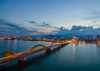
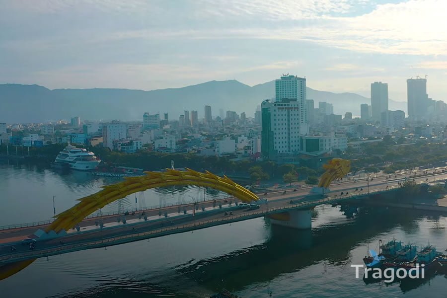
Da Nang has a 90 km long coastline, with many beautiful beaches such as My Khe, Non Nuoc, Bac My An, Nam O, Xuan Thieu… The city also has many famous landmarks such as Son Tra peninsula, Marble Mountains, Cham Island, Cham Museum, Dragon Bridge, Golden Bridge…
Da Nang is also the connecting point of 3 world cultural heritages, namely Hoi An Ancient Town, Hue Ancient Capital, and My Son Sanctuary. A little further away is the world natural heritage Phong Nha – Ke Bang National Forest and Thien Duong Cave.
Weather and climate
Da Nang is in the tropical monsoon climate region, with the transition alternating between the North and South climates, and the dominant feature is the tropical climate in the South. Unlike the North, there are no four distinct seasons here but only 2 main seasons are the dry season and the rainy season.
The dry season lasts from January to July, with an average temperature of 25.7 o C, low air humidity, little rain, slightly hot climate due to the influence of the Lao wind.
The rainy season is from August to December, with an average temperature of 25.5 o C, high air humidity, a lot of rain, cool climate due to the influence of the Northeast wind. Especially, from October to December is the stormy season, the sea is strongly fluctuating, often having storms.
Da Nang is a livable, lovely, and worth visiting city. If you have a chance to come here, you will enjoy the fresh air, affectionate scenery, rich cuisine, diverse culture, and friendly people. Da Nang is the ideal stopover for those who love beach tourism and explore the beauty of Central Vietnam.

