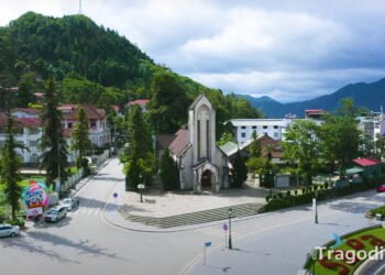
Geographical Location
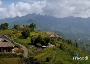
Sapa is a district in Lao Cai province, located in the Northwest of Vietnam, about 350 km from the capital Hanoi. Sapa has an average altitude of 1500 to 1800 meters above sea level, located in the Hoang Lien Son mountain range, where the highest peak in Vietnam, Fansipan (3143 meters), is located. Sapa has an area of about 678 km2, including 8 communes and Sapa town. Sapa is home to many ethnic minorities such as H’Mong, Dao, Tay, Giay, Xa Pho, etc.
Weather and Climate
Sapa has a temperate climate, with 4 distinct seasons: spring, summer, autumn, and winter. The average temperature of Sapa is 15 degrees Celsius, which can drop below 0 degrees Celsius in winter and rise above 25 degrees Celsius in summer. Sapa has quite high rainfall, about 1800 mm per year, mainly concentrated in the summer. Sapa also has many foggy days, especially in winter and early spring, creating a mystical scene for Sapa.
Each season in Sapa has its own characteristics and colors, depending on your preferences and purposes, you can choose different times to visit Sapa.
- If you want to admire beautiful flower fields like paintings, you should visit Sapa in the spring, from January to March.
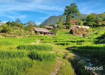
- If you want to enjoy the cool air and green landscapes, you should visit Sapa in the summer, from April to June.
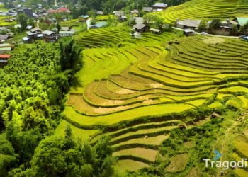
- If you want to witness the dramatic changes of nature, from green to yellow, you should visit Sapa in the autumn, from July to September.
- If you want to experience the cold and possibly see snowfall, you should visit Sapa in the winter, from October to December.
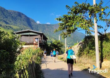
Sapa is a diverse and attractive tourist destination, with many activities and places to explore. You can go hiking, mountain climbing, camping, eco-tourism, cultural tourism, etc. You can also participate in unique festivals of ethnic minorities, such as water procession, harvest, praying for a good season, etc. You should not miss the specialties of Sapa, such as armpit pig meat, Thang Co, sticky rice in bamboo tube, corn wine, etc.

